TSX.V: OPW · OTC: OPWEF · FRA: OE5
Pioneering the Next Canadian Gold Rush in the Abitibi Gold Belt
Three properties on the Cadillac-Larder Lake Break. A permitted 10,000-metre drill strategy at Arrowhead, funded by an oversubscribed placement in August 2026.
- properties on the Cadillac-Larder Lake Break
- 3
- permitted drill strategy at Arrowhead
- 10,000 m
- permitted drill-pad locations at Arrowhead
- 25
- raised in August 2026, insiders participated
- C$1.73M
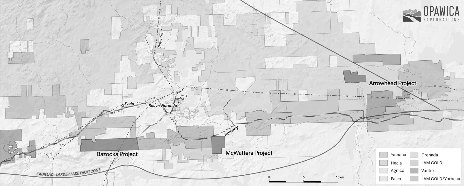
Opawica’s properties are at the exploration stage. No mineral resource has been defined on any property. Background: Opawica regional claims map. Source: Opawica Explorations.
About Opawica
Three properties on the Cadillac-Larder Lake Break
Opawica is a junior exploration company focused on gold discovery in Québec’s Abitibi Gold Belt. Its Arrowhead, Bazooka and McWatters properties sit near major producers including Agnico Eagle Mines.
Management and DirectorsProducing mines within 7 km
Along the Cadillac-Larder Lake Break
10,000 m permitted at Arrowhead
25 drill-pad locations, funded by the August 2026 placement
Low-cost ground
Road access, hydro power and local accommodation
Our projects
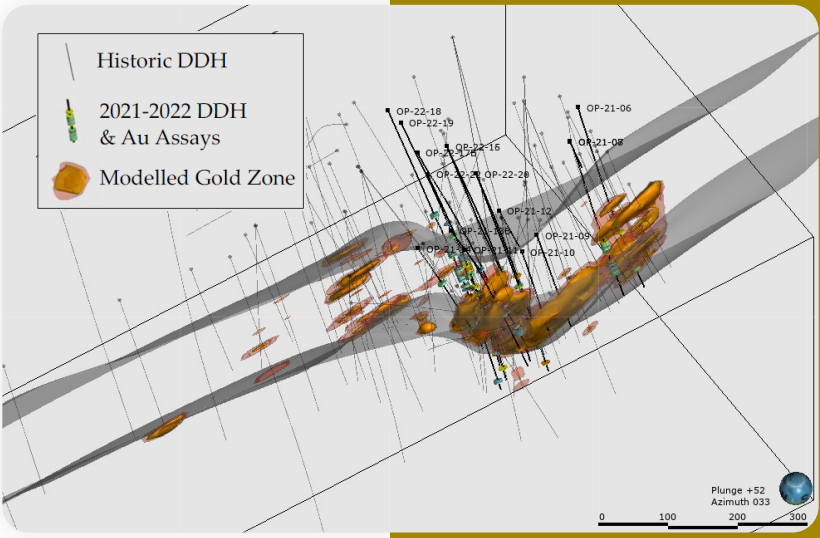
Bazooka Property
Seven kilometres of the Cadillac-Larder Lake Fault Zone. Drilled in 2025. The Company is exploring a joint venture or sale.
View property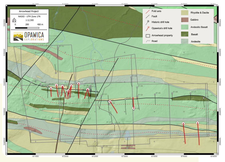
Arrowhead Property
100% owned. Permitted 10,000-metre drill strategy across 25 drill-pad locations. Next phase: drilling.
View property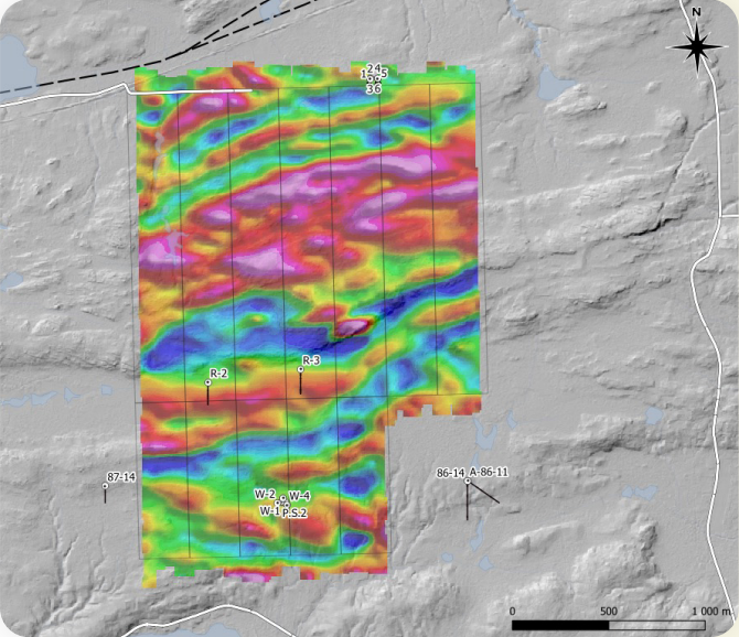
McWatters Property
Early stage. Airborne survey and target generation complete.
View property
News releases by email
Investor relations
Every inquiry logged and answered · Answers only from public disclosure · News on the site the moment it is released